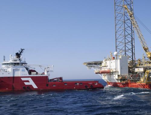
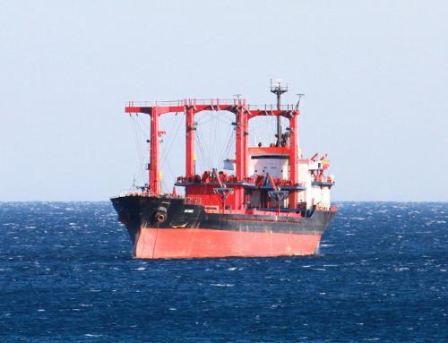
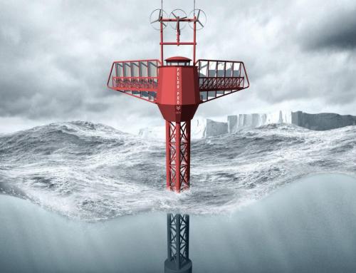
Study of the meteorological oceanic risks on the Towing route of the Tortue platform (FPSO)
In this project, NOVELTIS’ mission was to provide risk indicators (sea states, wind, currents) along the towing route of the FPSO Tortue using the most advanced statistical data.
Project details
Categories:
Tags:
Share this project:
Study of the meteorological oceanic risks on the Towing route of the Tortue platform (FPSO)
In this project, NOVELTIS’ mission was to provide risk indicators (sea states, wind, currents) along the towing route of the FPSO Tortue using the most advanced statistical data.
Project details
Categories:
Tags:

Example of the different routing options that were analyzed statistically, in order to assess risk indicators and potential impacts on the path of the tug.

The figure above shows a comparison between the waves height calculated by our model and those measured by satellite in a precise point. The excellent correlation between the model and the actual measures demonstrate the reliability of our results.