High-resolution ocean tide modelling
High-resolution global and regional tidal models to improve the accuracy of the sea surface heights measured by satellite altimetry.
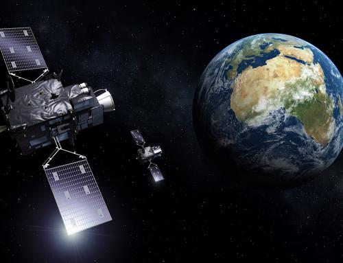
The ocean tide is a dominant process of the ocean circulation dynamics on the continental shelves and in the coastal areas. It shows up as rises and decreases in the sea level once or twice a day, with amplitudes ranging from a few centimeters to several meters, depending on the regions. Satellite altimeters, which measure the sea surface height worldwide, revisit the same place within 10 days, at best (Topex/Poseidon and Jason-1/2/3).
They sample the ocean tide signal at a frequency that is much lower than the frequency of the ocean tide itself, which results into an aliasing effect in the altimetry sea surface heights. The tidal signal appears as an undesirable signal with time scales of typically 60 or 180 days, depending on the satellite orbit. Those aliased tidal signals have similar time scales as other processes of the ocean general circulation, such as eddies and the seasonal variability of some currents. It is thus important to remove the tidal signal from the satellite altimetry observations as accurately as possible, using tidal atlas computed from model simulations.
For more than 10 years, NOVELTIS has developed highly accurate tidal atlases on behalf of the French and European Space Agencies (CNES and ESA).
Project details
Categories:
Tags:
Bathymetry, Data assimilation, High-resolution modelling, Ocean tides, Satellite altimetry, Unstructured grid
Share this project:
High-resolution ocean tide modelling
High-resolution global and regional tidal models to improve the accuracy of the sea surface heights measured by satellite altimetry.
Project details
Categories:
The ocean tide is a dominant process of the ocean circulation dynamics on the continental shelves and in the coastal areas. It shows up as rises and decreases in the sea level once or twice a day, with amplitudes ranging from a few centimeters to several meters, depending on the regions. Satellite altimeters, which measure the sea surface height worldwide, revisit the same place within 10 days, at best (Topex/Poseidon and Jason-1/2/3).
They sample the ocean tide signal at a frequency that is much lower than the frequency of the ocean tide itself, which results into an aliasing effect in the altimetry sea surface heights. The tidal signal appears as an undesirable signal with time scales of typically 60 or 180 days, depending on the satellite orbit. Those aliased tidal signals have similar time scales as other processes of the ocean general circulation, such as eddies and the seasonal variability of some currents. It is thus important to remove the tidal signal from the satellite altimetry observations as accurately as possible, using tidal atlas computed from model simulations.
For more than 10 years, NOVELTIS has developed highly accurate tidal atlases on behalf of the French and European Space Agencies (CNES and ESA).
The ocean tides strongly interact with the bottom topography of the oceans (the bathymetry), especially in regions of steep topographic slopes and in the shallow waters. Ocean tide models are particularly sensitive to the accuracy of the bathymetry on continental shelves, where ocean tides show the highest amplitudes and are generally highly non-linear.
Given the level of accuracy and the spatial resolutions that are expected today, in particular in the context of the future SWOT altimetry mission, improving the performance of the ocean tide atlases in the shallow water regions requires a joint improvement of the accuracy of the bathymetry that feeds the model.
Means used
The tidal atlases implemented by NOVELTIS are based on hydrodynamic modelling of the barotropic tide processes, by using unstructured grids allowing high resolution in areas of steep topographic gradients and shallow waters.
Results
Today the FES2012 and FES2014 global tidal atlas is one of the world references in terms of ocean tide models. It is operationally used by the Space Agencies (CNES, ESA, NASA…) to remove the ocean tide signal from the sea surface heights measured by satellite altimetry. Thanks to its very good performance when compared with independent observations, FES2014 is today the best tidal atlas available at the global scale.
The regional tidal atlases Arctide2017 (Arctic Ocean) and REGAT2019 (NEA, Mediterranean Sea) implemented by NOVELTIS show significant improvements in the coastal zones, compared to FES2014.
Client / Partner(s)


